
Draw, compare, and choose your travel path.
Trip Paths turns city-to-city planning into a visual, interactive map experience. Plot every stop, try alternate routes, and export the plan that fits you best.

Everything to plan a trip, visually.
From your first stop to the final export, Trip Paths keeps your whole itinerary on one map.
Build your itinerary
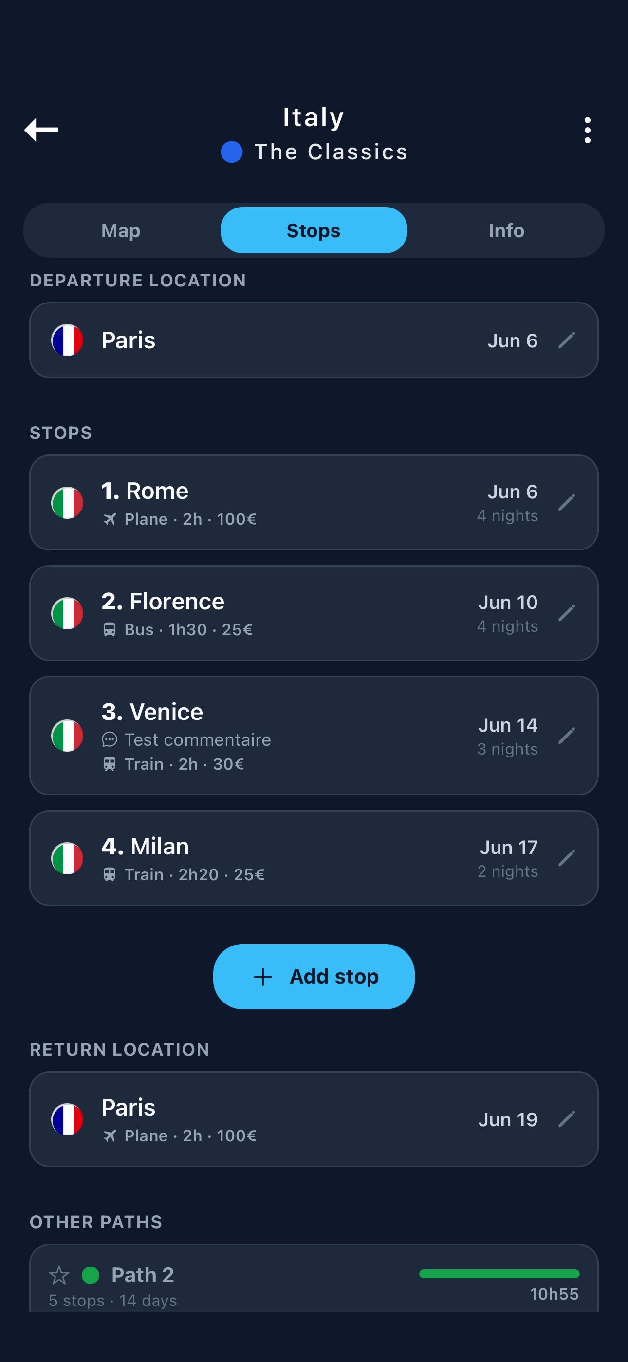
Add a departure, an arrival, and as many stops as you like — each with its own dates and notes, found instantly with fast city search.
See it on the map
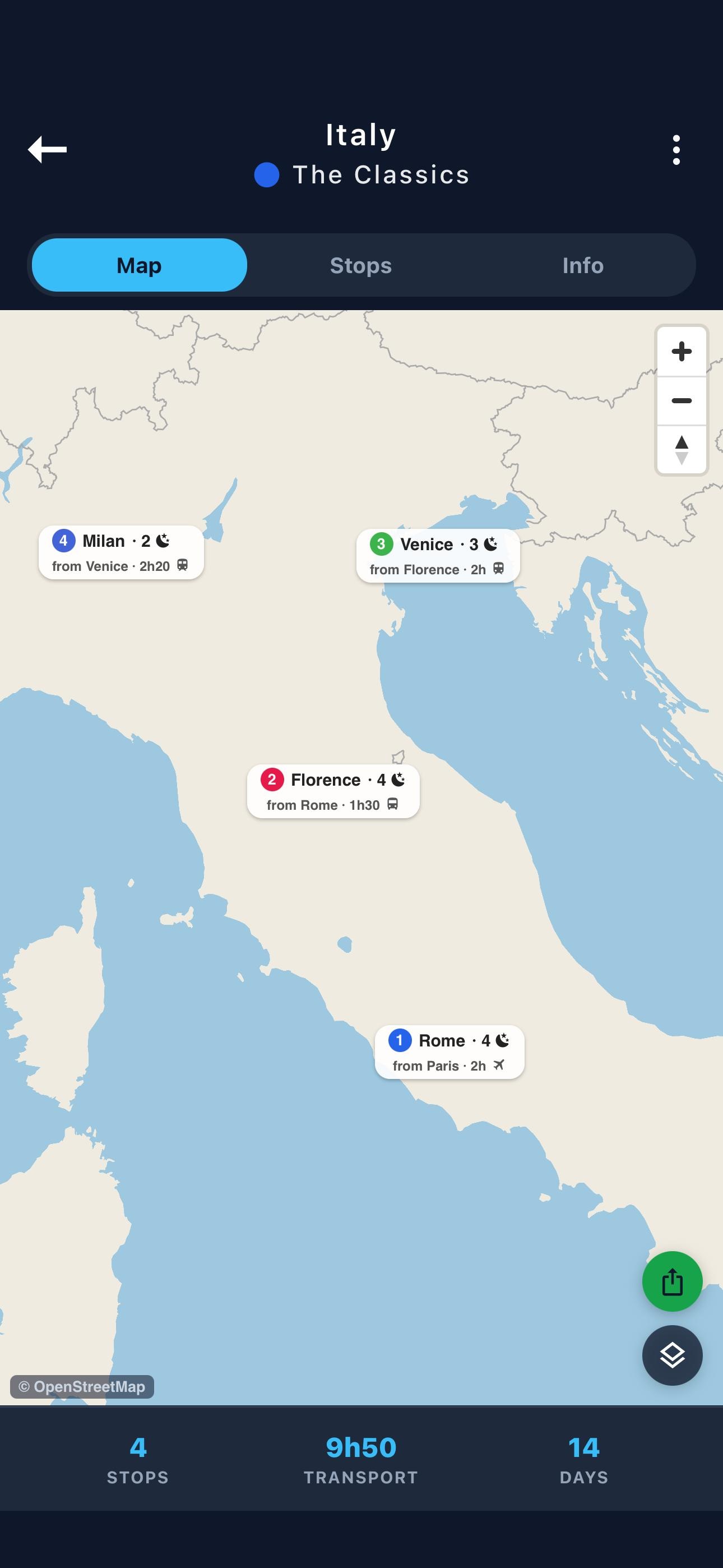
Every stop and connection is drawn on an interactive map, in four styles: Minimal, Standard, Dark, and Vintage.
Compare paths
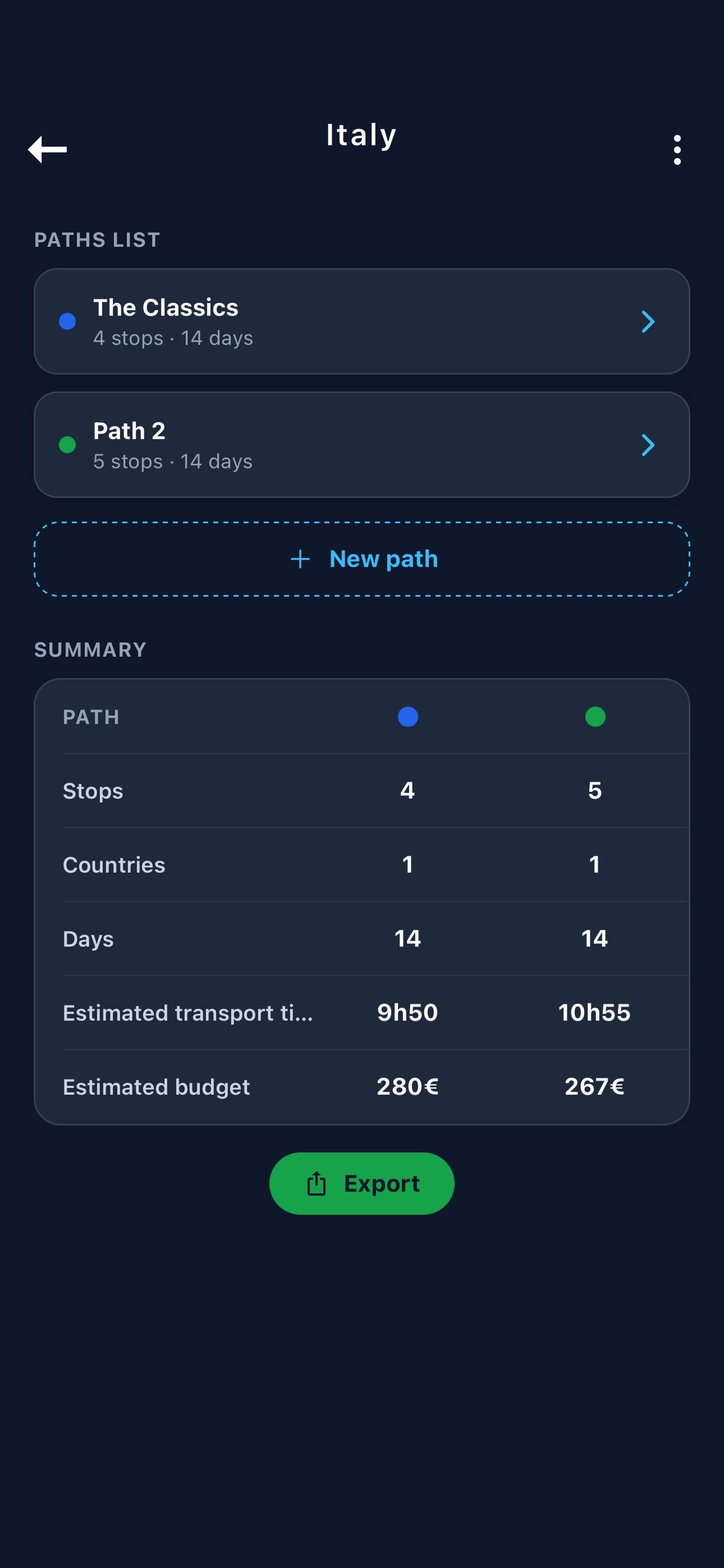
Sketch several route options for the same trip, compare them side by side, and pin your favorite.
Export & share
Export your trip as a PDF, a PNG map, or a KML file — or share it as a Trip Paths file that other users can import.
A closer look at Trip Paths.
Coming soon.
Trip Paths is in development. It will be available soon for free on the App Store and Google Play.